0+
Projects Delivered
0+
Countries Served
0+
Years of Experience
0%
Survey Precision
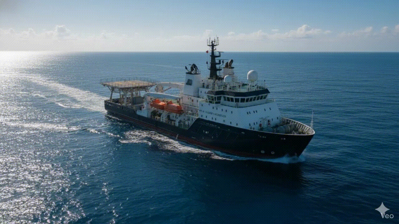
Precision data for the world's most demanding marine environments.
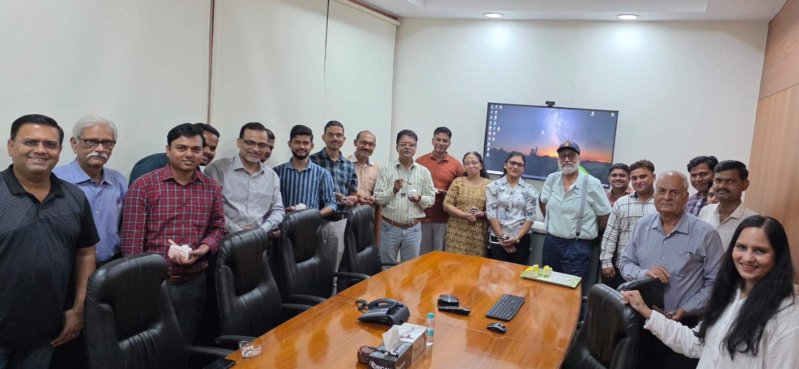
For over two decades, Ocean Science has supported some of the most demanding marine infrastructure projects across India, the Middle East, South-East Asia and beyond.
Delivering data for critical infrastructure.
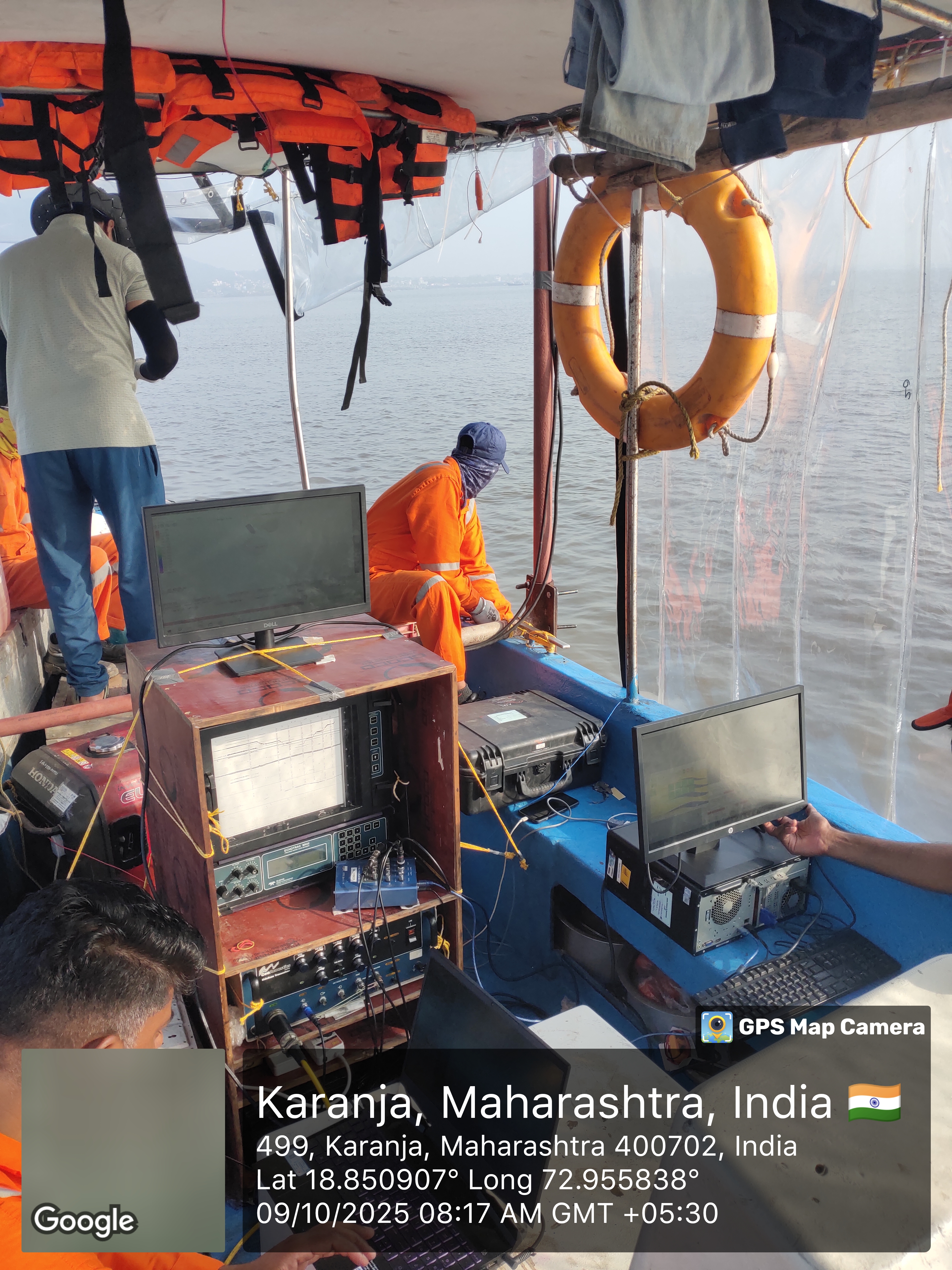
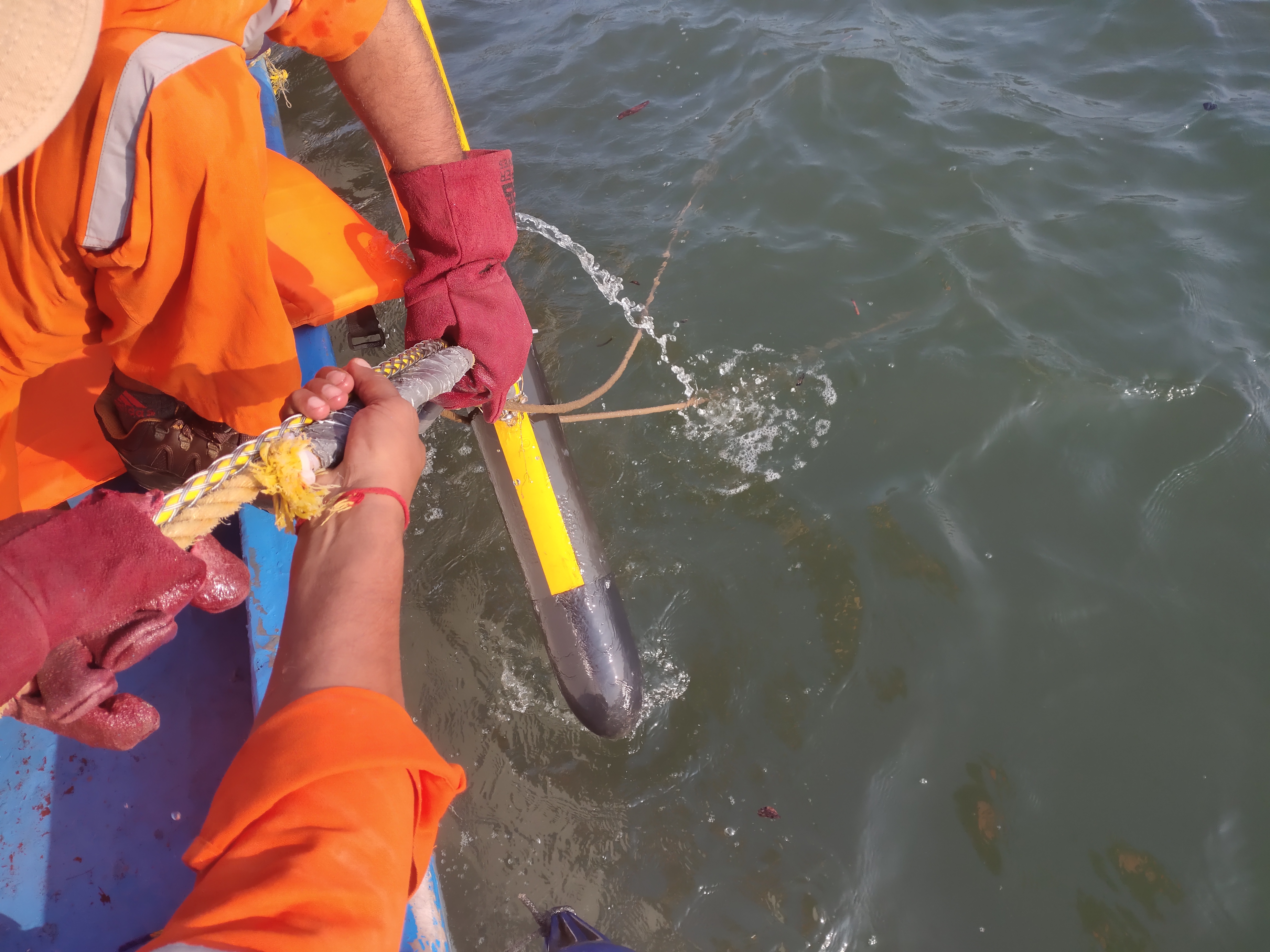
Bathymetry Survey
A bathymetric survey is the process of mapping the seafloor.
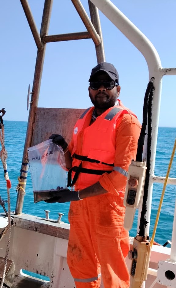
Geophysical Survey
Geophysical surveys are a vital tool for locating and mapping objects and features buried underground or underwater without the need for excavation.
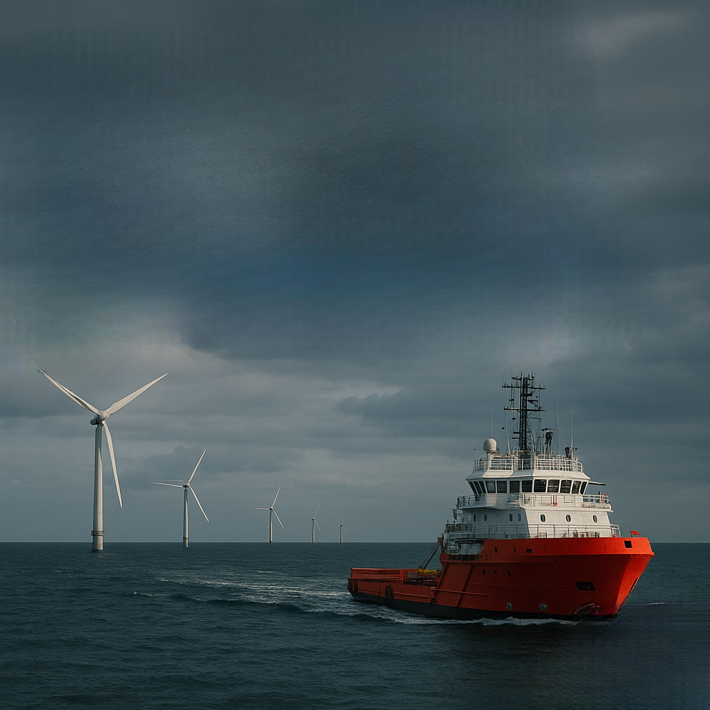
Offshore Platform Site & Pipeline Route Surveys
Offshore platform and pipeline surveys are critical for the planning, design, and safe installation of subsea infrastructure.
Submarine Cable Route Surveys
Submarine cable route surveys are essential for the successful deployment and long-term operation of underwater communication and power cables.
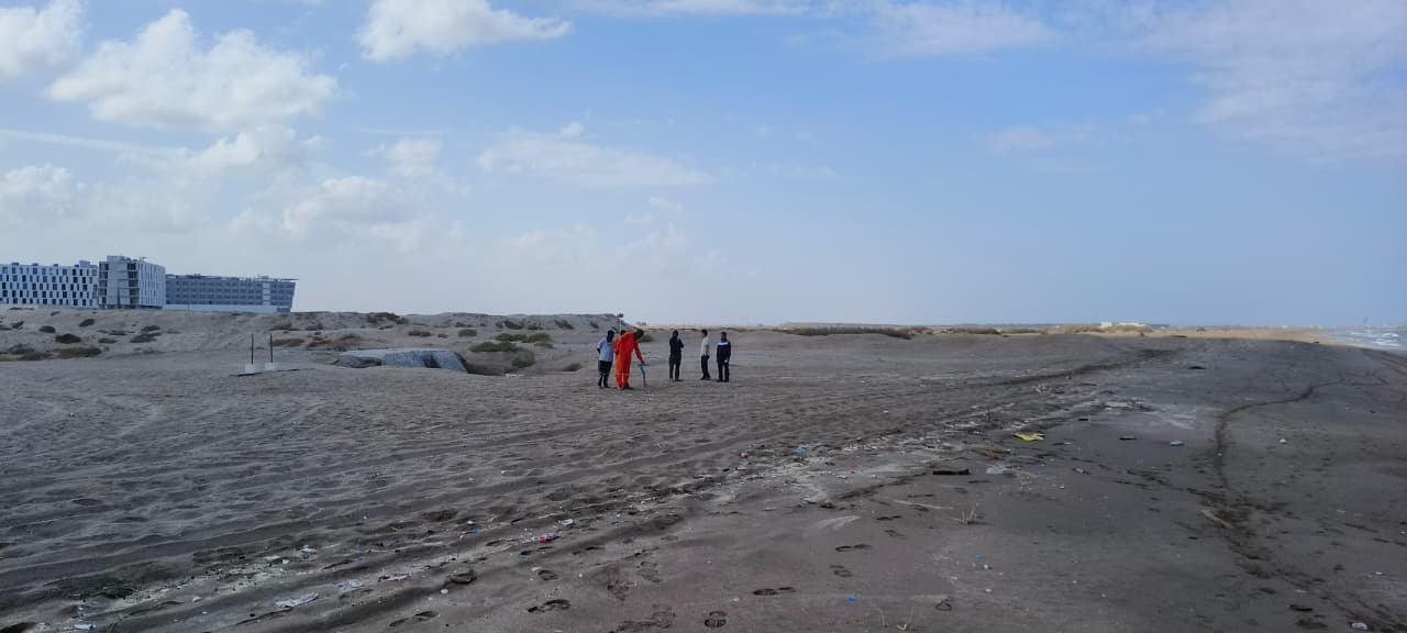
Topographic Survey
A topographic survey is a detailed map of the physical features of a piece of land.
Gradiometer Surveys for UXO Search
Gradiometer surveys are a vital geophysical technique used to detect Unexploded Ordnance (UXO).
Shallow & Deep Water Oceanography
Shallow Water Oceanography, also known as coastal oceanography, focuses on the ocean environment from the shoreline to the edge of the continental shelf, typically to a depth of about 200 meters.
Weather Forecasting Services
Weather forecasting services use a combination of science, technology, and observation to predict the state of the atmosphere at a future time.
Wide Area Positioning Services
Wide Area Positioning Services (WAPS) are a type of augmentation system that provides improved accuracy for standard satellite navigation systems.
The OSS Advantage.
Safety First (QHSE)
Our operations comply with stringent international standards (ISO 9001:2015, ISO 14001:2015, ISO 45001:2018, and ISO 29001:2020) to ensure zero accidents and absolute data reliability on every offshore campaign.
Integrated Solutions
We provide complete end-to-end maritime services including Bathymetric surveys, Sub-Bottom profiling, Geotechnical drilling, and post-lay cable protection assessment.
Proactive R&D & Tech
We own and operate high-resolution multibeams, dual-frequency side-scan sonars, gradiometer search rigs, and sub-surface geotechnical rigs.
Global Reach & Support
Having successfully executed mobilisations and marine surveys across 22 countries, our project management team handles complete custom clearances, vessel chartering, and international reporting standards.
Delivering data for critical infrastructure.
Cable Landing Survey at Barka
Comprehensive dive swim, topographic, and inshore cable route surveys for submarine telecommunications.
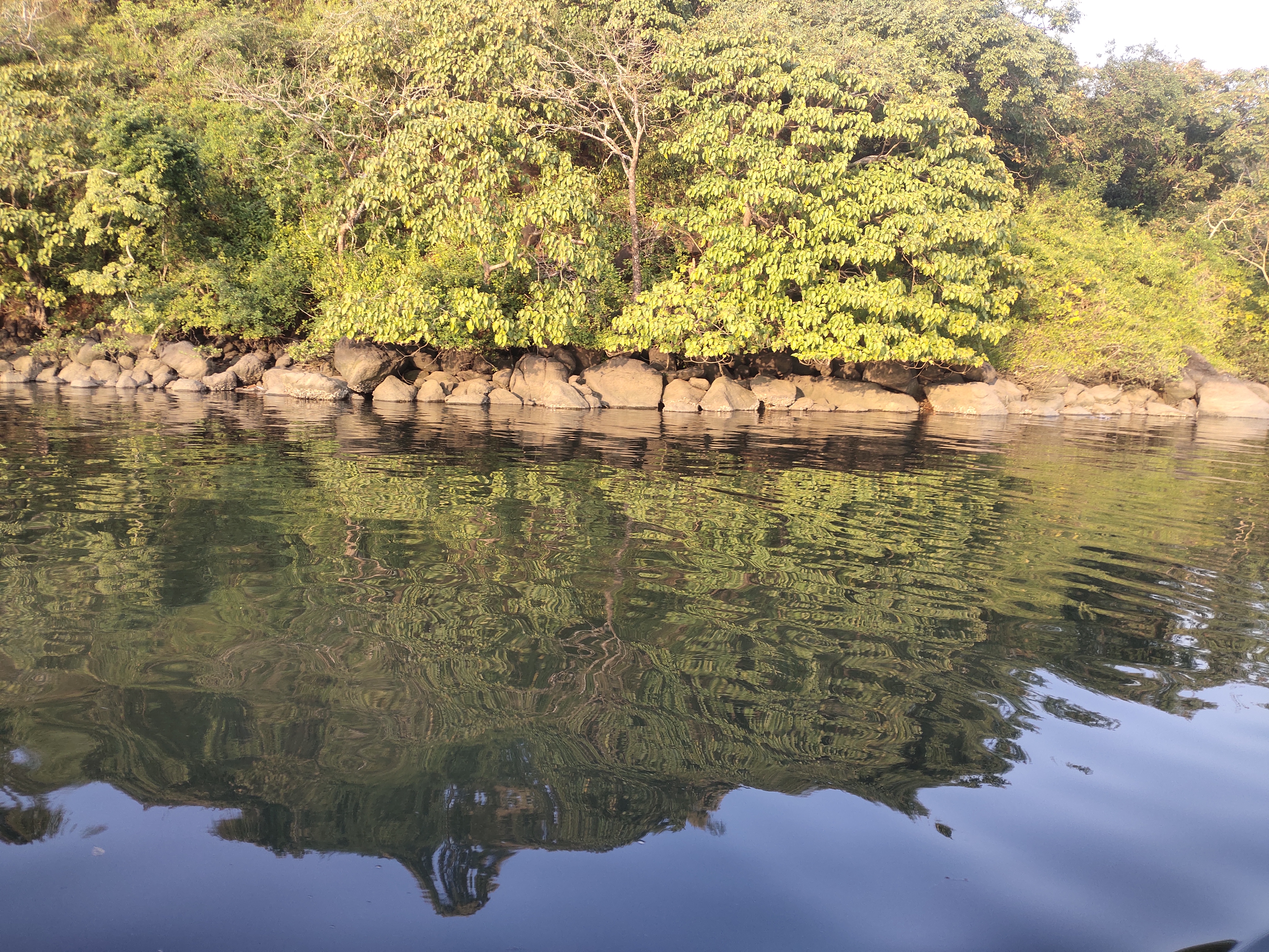
Bathymetric Surveys for Inland Waterways
Detailed river channel mapping and obstacle identification for national waterway transport development.
Vizhinjam Port Developmental Surveys
Pre-construction multibeam mapping, volume calculations, and extensive shoreline environmental monitoring.
Solving complex challenges.
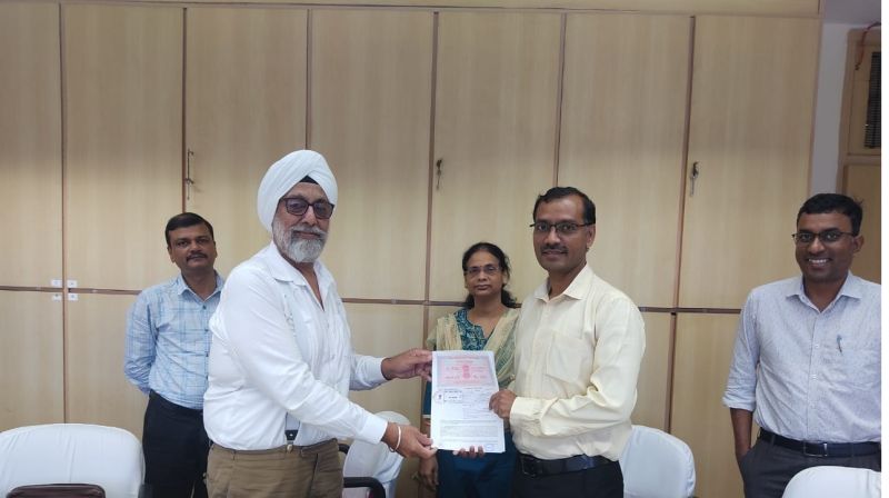
Cable Landing Survey at Barka, Oman
Ocean Science was recently contracted for a cable landing survey at Barka, Oman. A route for the lay of Fiber Optic Submarine Cable had already been worked out by the clients through Desktop Studies.
READ FULL STORY
Bathymetric Surveys for Inland Waterways
The core challenge was to conduct comprehensive Bathymetric and Navigation Surveys of creeks and rivers in Maharashtra, India. This project was a critical component of a National Mission aimed at developing Inland Waterways based transportation.
READ FULL STORYAbsolute precision and safety.
Marine operations require absolute precision and safety. We operate under stringent international standards to ensure zero incidents and 100% data reliability on every campaign.
ISO 9001:2015
Quality Management System
ISO 14001:2015
Environmental Management System
ISO 45001:2018
Occupational Health & Safety
ISO 29001:2020
Oil & Gas Quality Management System