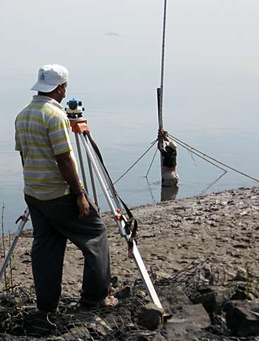
Ocean Science is capable of carrying out single and multi-beam bathymetric surveys in water depths
ranging from 1m to more than 3000m.
Offshore Platform Site & Pipeline Route Surveys
Ocean Science provides seabed engineering surveys for platform sites and pipeline routes. These surveys are carried out with state-of-art geophysical instruments to obtain data of the best quality possible.
Submarine Cable Route Surveys
Ocean Science, a pioneer in this field, has carried out cable route surveys throughout the world’s oceans, connecting all the continents.
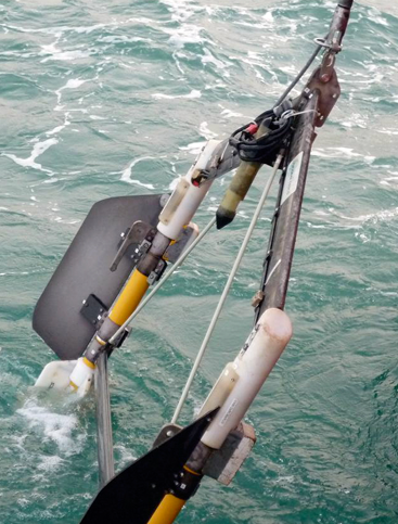
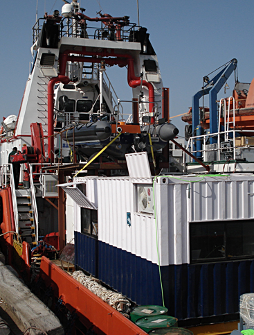
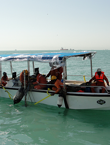
Gradiometer Surveys for UXO Search
Ocean Science is the only company in India to have carried out an extensive UXO survey in Iraqi waters. Ocean Science owns and operates transverse gradiometers specially designed for this purpose.
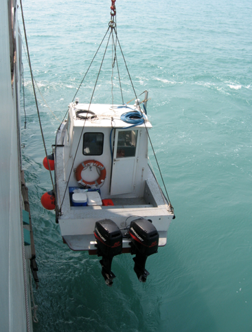
Offshore & Marine Construction
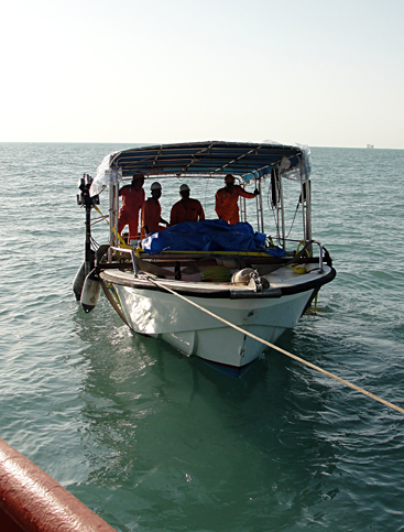
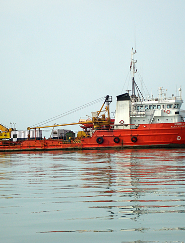
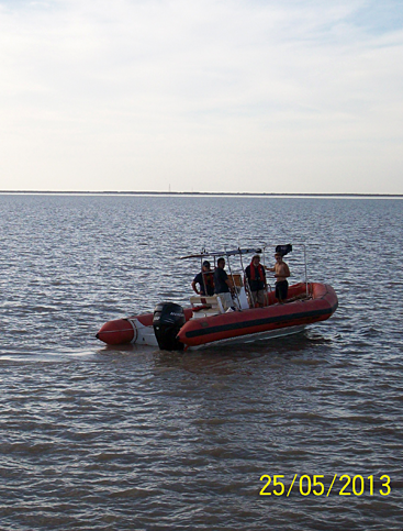
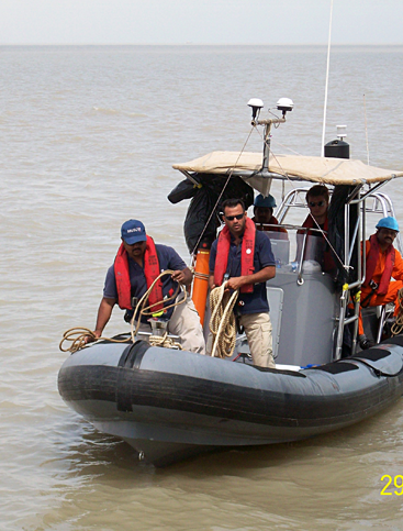
Ocean Science provides positioning services for all offshore construction jobs like laying of pipelines and cables, installation of platforms, rigs etc.
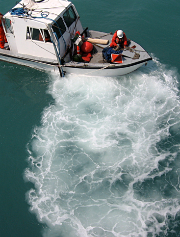
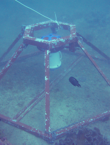
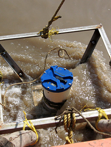
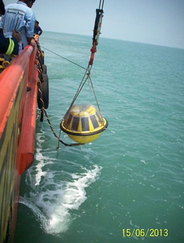
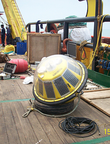
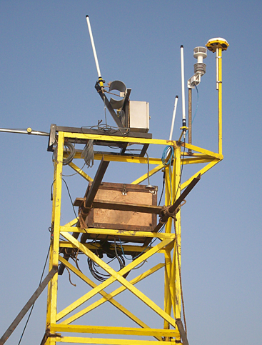
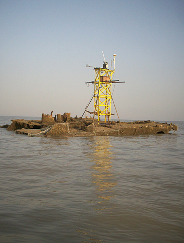
Shallow & Deep Water Oceanography
Ocean Science is geared to measure currents using conventional and acoustic currentmeters (ADCP), to depths ranging from very shallow to 3000m. Ocean Science can also provide real time current/wave/tide data to the oil & gas sector. Apart from currents, Ocean Science can also undertake sediment transport studies, mathematical modelling for ports & harbours etc.
Weather Forecasting Services
Ocean Science, under a strategic partnership with CustomWeather Inc. USA, can provide weather forecasting for any location in the world and Asian region in particular.
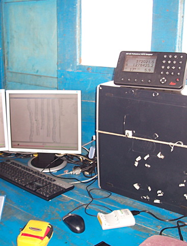
Wide Area Positioning Services
Ocean Science provides and installs Veripos DGPS positioning systems in survey and innumerable surveys commercial vessels all over the Indian sub-continent.
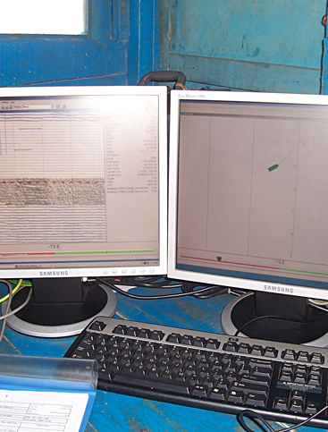
Seismic & Side Scan Sonar Surveys
With the use of high resolution Seismic profilers and side scan sonars, Ocean Science is capable of producing high quality sections of the upper reaches of the earth's crust, as well as detailed images of the seafloor wherever required.
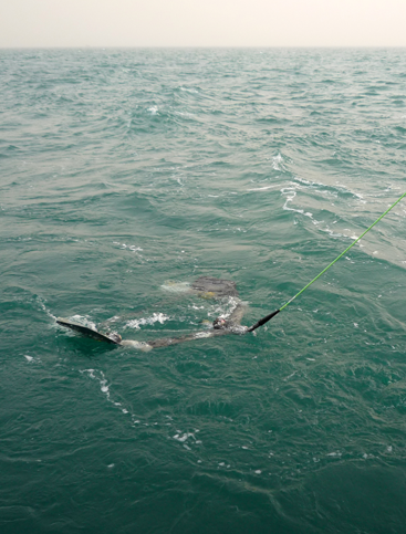
Geotechnical & Soil Sampling
Obtaining grab, core and vibrocore samples of the seafloor is easy when you have an Ocean Science team on board.
Geotechnical investigations are carried out by partners well experienced in this field.